I’ve written about Big South Fork in a previous post, so I won’t go into too much detail.
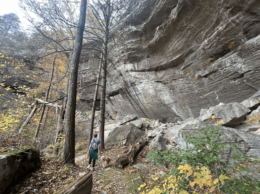
This year, we stayed for two nights in the Charit Creek Lodge. We rented the “Corn Crib,” the most loved space, judging by how hard it is to book (we booked nearly eight months in advance, a long weekend in November). Other spaces have screen porches and other outdoor seating, so I wasn’t as big of a fan as others in compared to the lodge rooms, but it was nice for the dog. The lodge rooms have an upstairs (separate access point, for staff), so our dog was very alarmed when strangers were walking around upstairs!
Our first night, we had only six other fellow guests, which offered a really nice, intimate setting. The second night, we were joined by a very large group of men – I believe a church group – and the dining hall was packed to the brim with maybe 30-40 guests; fortunately, the Charit Creek staff sat us with our friends from the previous night, two brothers who were also from Ohio.
As always, the food was absolutely incredible. Unlike last year, however, I felt that there never was quite enough food… at least, not for folks hiking six or more miles each day.
The trails:
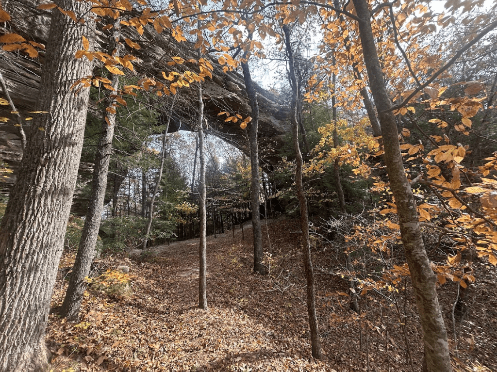
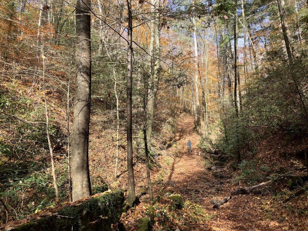
Twin Arches Loop – I recommend going counterclockwise. You start with a nice relaxing stroll through the woods before reaching the steep incline. If you started early enough, you’ll get through the touristy section (people drive to just do the half-mile loop with the arches that’s adjacent to the parking lot) before it gets busy, then take the long, meandering, 2.5-3mi portion back down through the woods, with more unique arches and neat nature to view and take in.
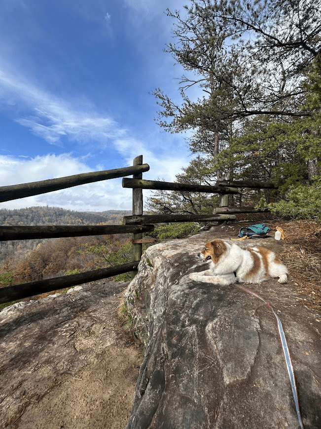
Charit overlook – this is a horse trail, which is really nice because the trail is nice and wide, and not very technical (minimal roots and rocks in the path). It’s incredibly steep for the first half, but due to the width, you can walk several humans (and dogs) abreast and take your time with it. It follows a river before turning into a less steep woodsy trail before you get to the overlook at the end. You’ll see the horse parking and then the trail narrows to reach the lookout.
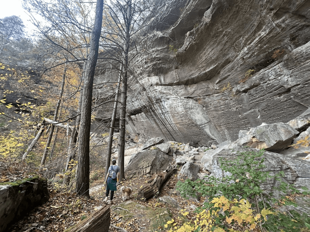
On our way out, we took the horse trail, which was… a mistake. We thought it’d be easier with our packs than the technical trail through the woods (which we loved on the way in), but the shorter exit resulted in a way steeper incline. Hard to believe a horse or carriage or even motor vehicle could climb that level of incline! Don’t do it!
My brother-in-law lives in Washington state, about halfway between Seattle and Vancouver. What a bummer to have to fly out there to visit him.
It’s not even fair how gorgeous it is out there.
Our first full day, a Thursday, my wife and I started to explore while her brother and his girlfriend were at work. At their recommendation, we selected the trail called Oyster Dome, on Blanchard Mountain.
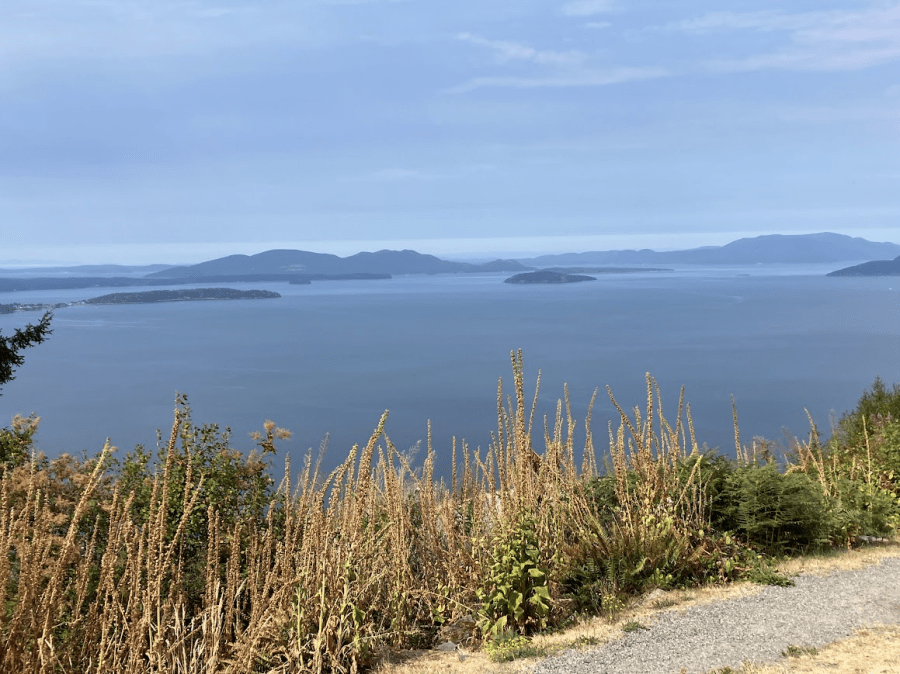
We drove up the first part of the mountain via a long, winding unpaved road. There’s a way to avoid this (adds significant elevation, with no facilities and minimal parking), but we simply navigated to the main parking area (Samish Overlook parking), which bypasses the initial ascent on foot, offering breathtaking views from the start (and toilets!). From the main parking area, it’s still about a 5-mile hike, which was sufficient for us for our first day anyway. The other trailhead is off Chuckanut Drive (must cross state highway to begin hike).
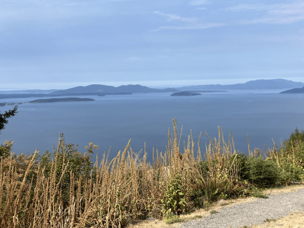
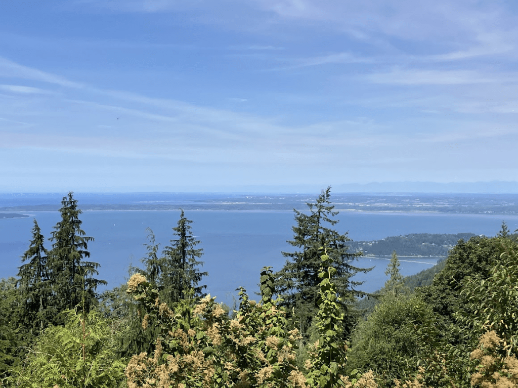
View of the Samish Bay, near the Samish Overlook parking area.
We loved this hiking trail. The parking lot is quite large, signaling how busy the area can get, but we started mid-morning on a weekday and fortunately avoided crowds; we only crossed paths with a handful of people, and shared the summit with four others.
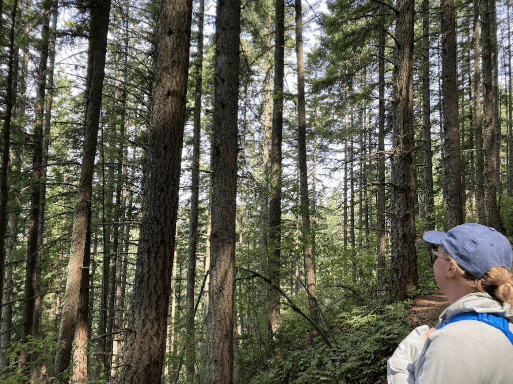
The trail begins steep, tackling a bit of the 1000-ft elevation gain, before leveling out through the cedar and fir forest. The trail crosses several creeks. Even while away from the views, the sounds and smells of the forests are incredible.
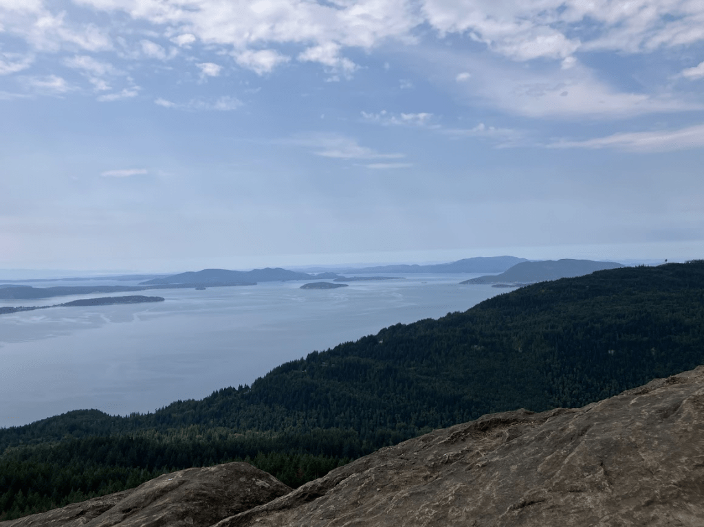
After enjoying the more level trail for a while, it spikes upward for a significant incline the final ~ half mile. As you continue up the switchback, the trail narrows as well, and becomes a bit more technical. Reaching the top is well worth it! You’re rewarded with a nice, wide rock face to sit and rest while enjoying the breathtaking views. The people of the pacific northwest are so friendly, too! When they discovered we were visiting from Ohio, they offered up other trails to check out, and their favorite meal spots nearby, as well.
We already had a plan for dinner that night, though, and after heading back down the mountain, we drove to downtown Mt. Vernon to meet our brother and his partner.
View from the top of Oyster Dome.
Day 2
Another work day for our family, my wife and I drove to Larrabee State Park. Offering over a dozen trails to explore, we bopped around, quite sore from Oyster Dome. We drove first to the top of the park for the views, and then hiked a bit of the Ridge Trail before heading back down to the bottom of the mountain for the Clayton Beach trail.
View from Cyrus Gates Overlook
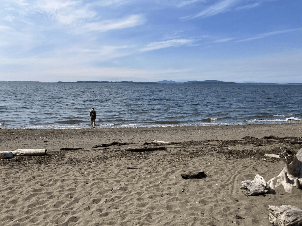
The Clayton Beach trail wound down the hill onto the beach. It’s a short trail overall; fairly steep, but a much more gradual slope than by the overlook. There are some rocky areas near the beach that we climbed up to relax and enjoy the views.
Clayton Beach, Larrabee State Park
Once we wrapped up our time in the state park, we rewarded ourselves with a beer – we first tried “The Oyster Bar,” just off Chuckanut Drive, not realizing that it was fine dining (we were covered in sweat and sand and in our hiking gear, yikes!). We snuck away and instead headed to “Chuckanut Manor” — which sounds fancier but is less so. They had a good happy hour, and we ordered a couple of pints and a snack to share. The food was excellent and view from the patio beautiful.
Following our hike reward, we headed back to our family’s house for dinner. Our brother has gotten into duck hunting, and grilled some duck for us to try. My wife and I had stopped by the cheese store in downtown Mt. Vernon to complement our appetizers with some wine and cheese. Skagit Valley Larder was a great experience – we were able to sample the cheese prior to purchasing it, and they offered some recommendations that would pair well with the cheese (and the duck!)
Day Three
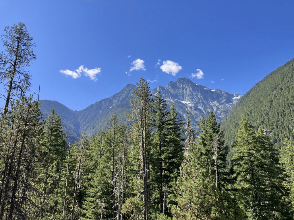
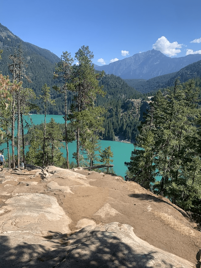
On Saturday, the four of us piled into the truck with the dogs and headed out to Ross Lake National Recreation Area. Just adjacent to North Cascades National Park, we were able to enjoy similarly amazing views … but also bring the dogs (no dogs in national parks, boo). We did the Thunder Knob trail, which was breathtaking but painfully crowded.
If I were to go again, I’d likely select a trail that’s typically less crowded.
On our final day, my wife and I went to Deception Pass before heading back to the Seattle Airport for our red-eye flight home. At Deception Pass, we hiked the Goose Rock Summit trail – which can be either a shorter, steeper out-and-back, or a full loop trail. We did the latter, hiking the steep climb on the way up to grant us the slowly meandering path back down to the parking area.
___________________________________
PNW Lez-Travel rating:
The Pacific Northwest is an interesting place when it comes to gay travel. There are lesbians everywhere… but you’re in such a rural area, that you meet some closeminded idiots, as well, and certainly see a lot of Trump flags. Based on our experience, these are not the same folks we encounter on the trails or town centers. PNW wins 3 rainbows.